
- Topography is the study of the “shape and features of land surfaces”.
- The topography tool in Revit, is not very precise and works properly for earth moving projects. However it is enough for basic operations for building projects.
- Using “Toposurface Tool” we can define a topographical surface using Place points or “Import from cad” and also using “Points file from civil engineering software”.
- Here I am going to create toposurface using place points.
Create a new Toposurface
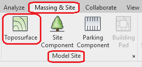
For this open “Site floor plan” where we can see the points we placed. Massing and Site Tab -> Model site -> Toposurface
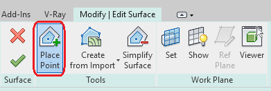
Pick “Place point” option and specify the elevation for the point in options bar.
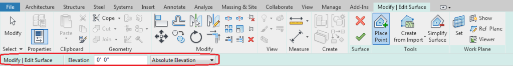
Note: “Absolute elevation” is the points display at the specified elevation from the project base point.
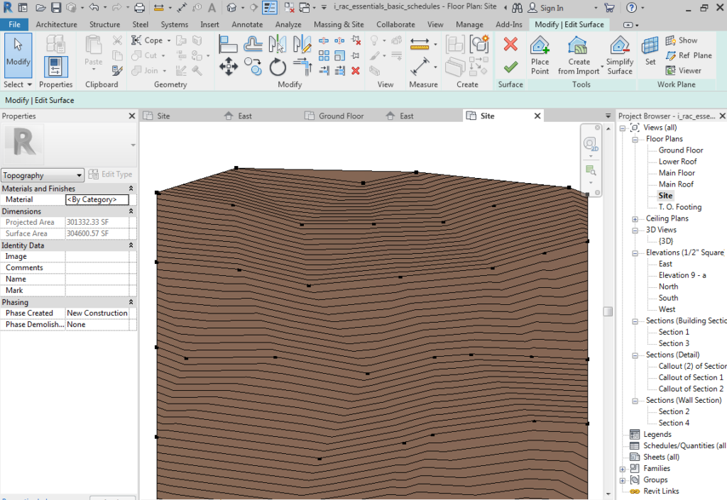
Points will be created like above image with different elevations.
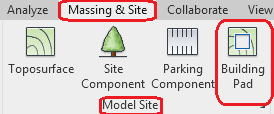
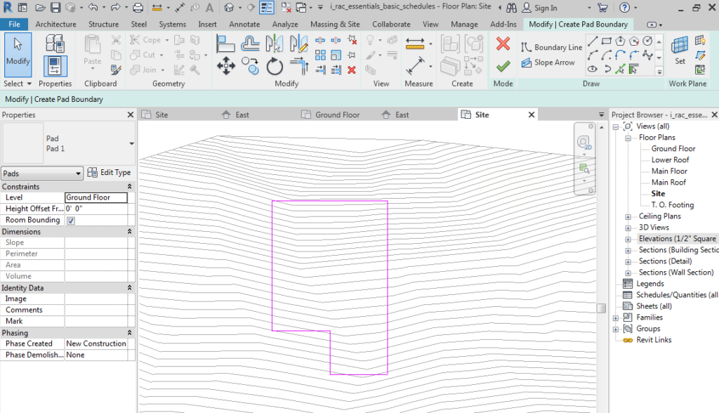
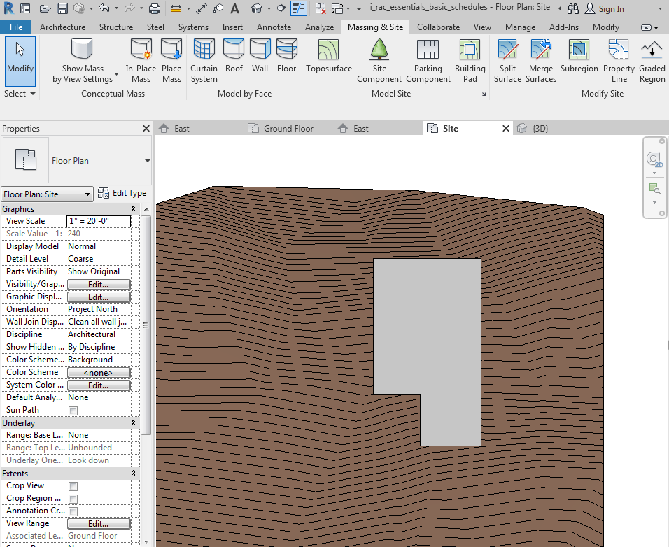
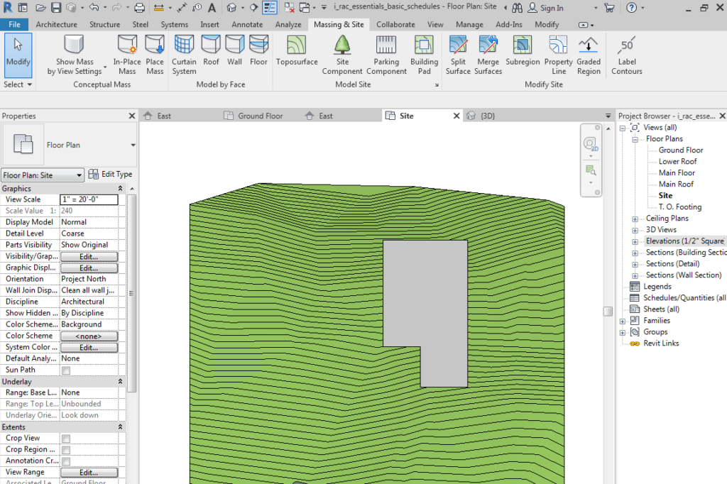
Building Pad
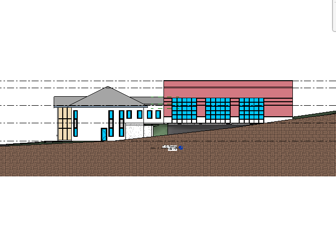
We can place the buildings on the terrain. If the building and terrain is intersect, the terrain is going to invade inside the building.
To avoid these situations we have to create “Building Pads”. To create Building pad, Massing and Site Tab -> Model site panel -> Building Pad
We can create building pads by draw the closed loop like floors.
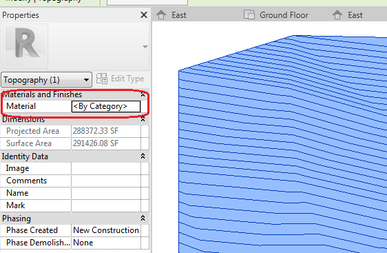
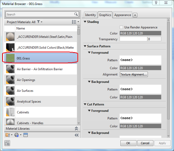
Material for Toposurface
- We can apply the Material for toposurface which we created.
- Select the toposurface and apply material in “Properties palate” under “Materials and Finishes” option.
- Choose material from the “Material browser” (Here I choose Grass material).
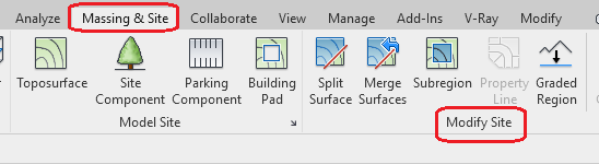
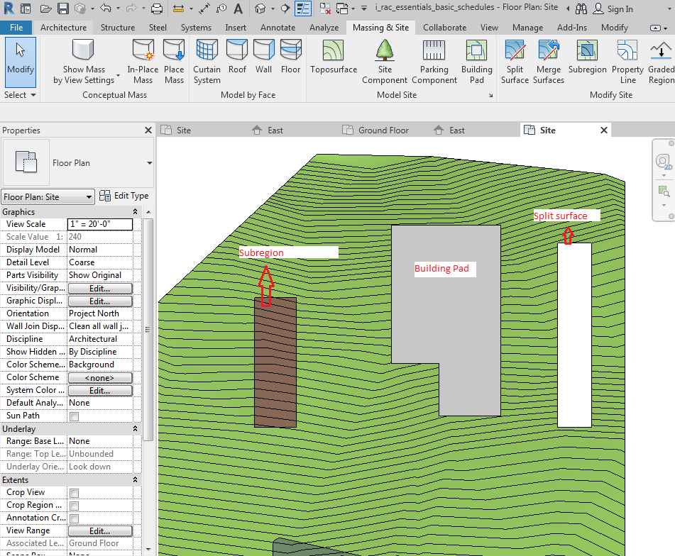
Modify Site
We can modify the site after the creation of toposurface using “Modify site” panel.
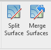
Split Surface
- We can split a toposurface into 2 distinct surface and also we can merge those surface.
- Massing and Site tab -> Modify site panel -> Split surface/Merge surfaces.
- The splited surface is a separate surface from the toposurface.
- After Splitting that surface we can assign different material to that.
- We can use this tool to delete unwanted portions of toposurface generated by an imported file.
Subregions
We can add “Subregions” to the existing toposurface.

- Massing and Site tab -> Modify site panel -> Subregions
- Subregions are areas that we sketch inside existing toposurfaces.
- We can add different material to that.
- Subregions are mainly used for making difference between roads and paths. Deletion of Subregions will not affect the toposurface.
If you are interested in learning about toposurface in details and Site components then you can enroll in Revit Course.